Latest Version
Version
v 4.3
v 4.3
Update
December 05, 2024
December 05, 2024
Developer
Jan Cees Venema
Jan Cees Venema
Categories
Sports
Sports
Platforms
Android
Android
Downloads
0
0
License
Free
Free
Package Name
appinventor.ai_JanCeesVenema.SurfacePressureMaps
appinventor.ai_JanCeesVenema.SurfacePressureMaps
Report
Report a Problem
Report a Problem
More About PG Surface Pressure Charts EU
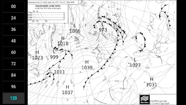
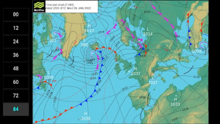
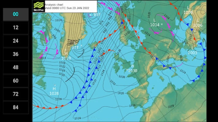
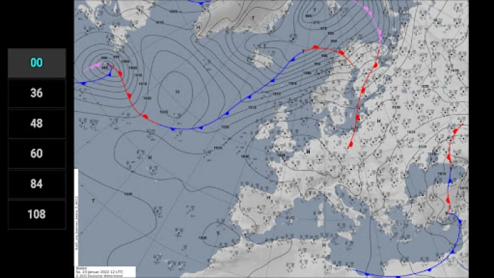
For proper flight planning, information on meteo conditions are indispensable. The Surface Pressure Forecast Charts App will give you a 5-day outlook on the possible development of the large scale meteo conditions in Europe.
The charts have the purpose to merely supply you with large scale, longer term info. To assess local conditions you will have to consult other sources, like burnair Map, spotAIR FFVL, Meteo Parapente, Paraglidable or Windy.
To be able to download the charts even in marginal internet connectivity conditions, the charts are supplied as low-resolution images, minimizing the file size.
Higher resolution images and zooming capability would suggest a reliability of the model outputs at a smaller scale. This has been discouraged by the meteorologists involved.
The app is light, fast and very easy to use. Morever it is free and without ads!
Features:
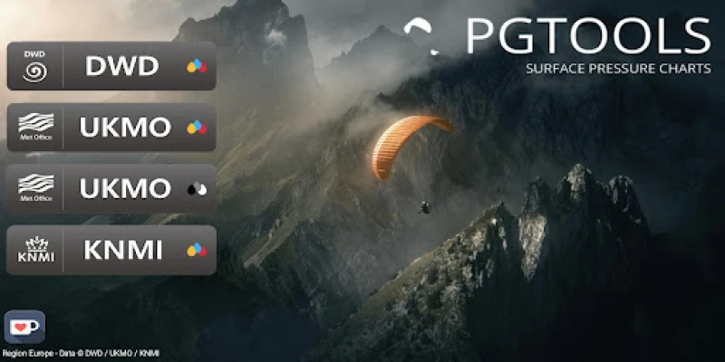
• DWD analysis for +00 and forecasts for 36, 48, 60, 84 and 108 hours
• UKMO analysis for +00 and forecasts for 12, 24, 36, 48, 60, 72, 84, 96 and 120 hours
• KNMI analysis for +00 and forecasts for 12, 24 and 36 hours
• isobars
• sea level pressure (hPa)
• frontal systems (heat and cold fronts)
• thickness data (in UKMO B/W charts)
The charts are generated and generously made available by DWD, UKMO, KNMI and Wetterzentrale.de.
The models used are:
DWD - ICON-model
UKMO - Unified Model
KNMI - HARMONIE-AROME
Rate the App
Add Comment & Review
User Reviews
Based on 0 reviews
No reviews added yet.
Comments will not be approved to be posted if they are SPAM, abusive, off-topic, use profanity, contain a personal attack, or promote hate of any kind.
More »


Popular Apps

Habitica: Gamify Your TasksHabitRPG, Inc.

Google TasksGoogle LLC

Export contacts by CovveCovve Visual Network Limited

TimeTune - Schedule PlannerTimeTune Studio

Forest: Focus for ProductivitySeekrtech

To-Do List - Schedule PlannerDairy App & Notes & Audio Editor & Voice Recorder

Bloomberg: Finance Market NewsBloomberg LP CM

People Say - Family GameSAS ELIA

Export Contacts: Contact MoverMaster Apps Lab

Tap Fantasy: Crypto&NFT Gamestap fantasy
More »


Editor's Choice

Duo MobileDuo Security LLC

Idle Breaker - Loot & SurviveEstoty Vilnius

Brainstorm Test: Tricky Puzzlegedev

Export contacts by CovveCovve Visual Network Limited

Sennheiser Documentation AppSennheiser electronic

Bloomberg: Finance Market NewsBloomberg LP CM

Genius Scan - PDF ScannerThe Grizzly Labs

CamScanner- scanner, PDF makerCamSoft Information

Notepad, Notes, Easy NotebookSimple Design Ltd.

Hinge Dating App: Match & DateHinge, Inc.
